|
"...it seems impossible that it's gone. Impossible that bulldozers flattened such a special place. That kudzu and rhododendron have overtaken campfire circles, choked out footpaths, and erased those few things the dozers passed by." |
|
|
|
This shot was taken looking about South just as you come from the creek walking along the road, downstream. I think the Castle would have been straight ahead. The site was really cleaned out, first during camp demolition and then (apparently) much of the "shape of the land" was changed by grading to obtain fill for the new roadbed. Very few remnants. |
|
|
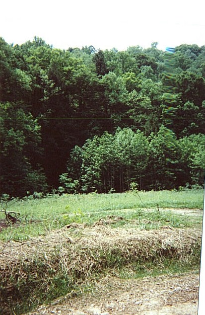
This Camelot site photo is looking about East, from the top of the old road as it starts back down toward the creek, behind me. The pool remnants were just out of sight to the right of this picture. The rifle range would have been about in the dark area in picture left center. Note the "new" road heads off to the right, continuing on the south side of the creek all the way down to Carlisle. |
|
|
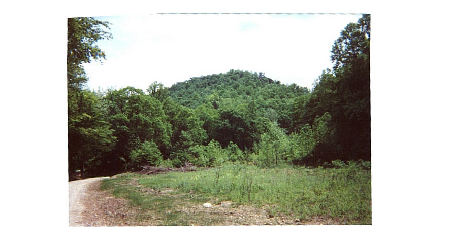
The Camelot site looking just about east, from about the pool area. The road at the left is the new road (about in the original position here); and you can see a sliver of the road as it continues upstream on the other side of the creek. Of course, in the old days, the two-level dam was just upstream of this creek crossing in the lower left corner. |
|
|
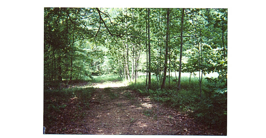
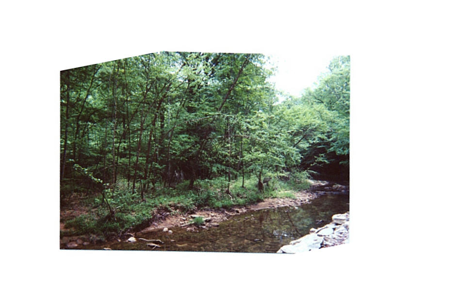
The "Road Past Stables" picture looks West (downstream) and we are across the creek and a bit downstream from the Camelot site. I think the stable was in the bright area to the right. I'd like to return someday with a metal detector! |
|
|
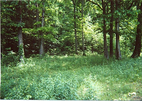
The campfire grove, a little bit east of the Castle, where the sword in the anvil symbolized the spirit of Camelot, recalling the legends of Arthur and the Knights of the Round Table. |
|
|
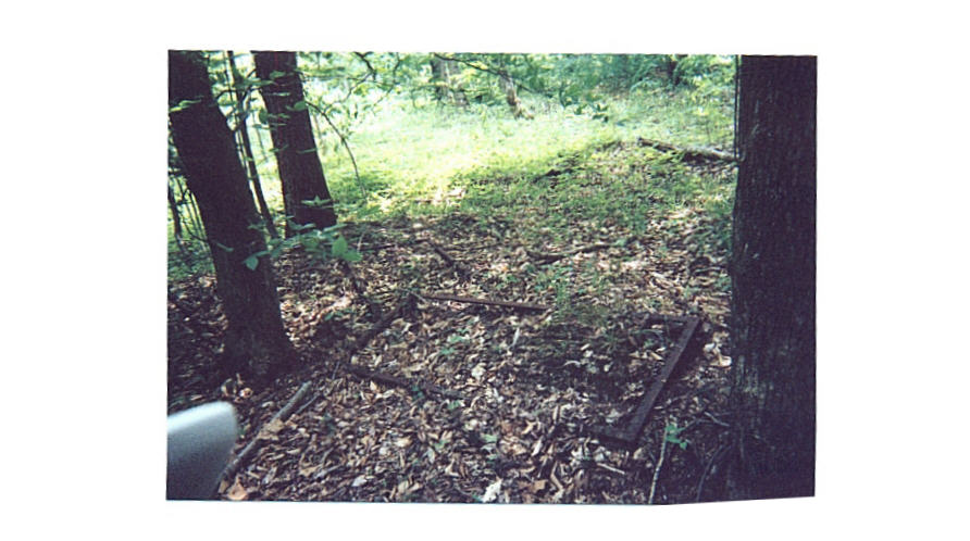
The discarded bed springs were just downstream from the stables area, a little south of the road. This picture looks northeast, back toward the bright stable clearing. Remember making the bed, and trying not to tear the sheet on the spring hooks underneath? Hospital corners? |
|
|
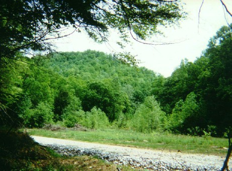
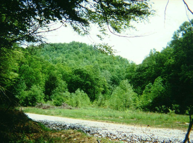
We are on the new road, south of Blue Creek looking upstream (northeast), about across from the Camelot stables. The stables and the original road were on the other side (downstream of Camelot, but UPSTREAM of Carlisle!) at this point. The old road crosses the creek in the right center background, and then goes up to the Camelot site. See the little bright area in the left center? That's the stable clearing across the creek. |