 |
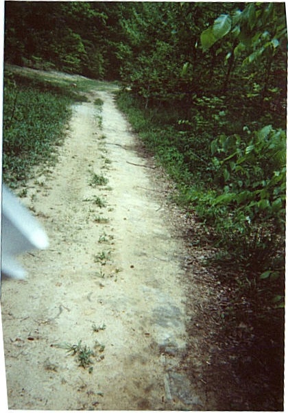
This picture looks upstream (about northeast), and was taken at a spot near the walkway which ran toward the front of the Castle. The Castle site was to the right center of this picture. The creek is to the left, and where there's a new oil or gas well just across the creek. Just around the corner on the trail pictured are a lot of tanks, etc. stored where Carlisle's cabins were. The white object to the left is the end of my roll of topo and DeLorme maps. (I really worked to find these sites! ...been a long time.) |